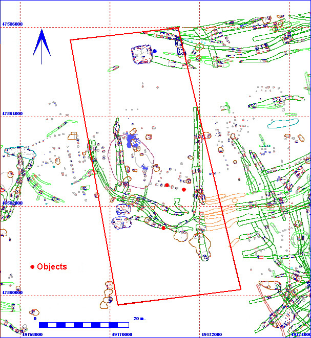
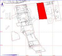
012AC00001 Spit

| Spit Details |
| Length |
5900 |
Width |
1930 |
Depth |
70 |
| Area |
1138.7 sq. m |
Volume |
|
| Material Culture |
Number of Objects |
3 |
Number of Animal Bones |
1 |
Stratigraphic Matrix Diagram
The matrix diagram above shows an extract of the spits from Area 12AC
indicating their relationships to each other. Click on the spit number
which you wish to see in more detail. The bold, flashing (Netscape browser
only) context indicates the current catalogue entry.
Discussion
This was the machine clearance of the area. Up to 70cm of material was
removed in the north, gradually lessining to only 20cm being taken off
in the south, where plough damage had almost completely removed any archaeological
traces. Under the ploughsoil, the material removed was generally hillwash,
a sandy clay loam (Munsell colour 10YR 3/3). Approximately 50% of the area
was taken down to chalk, with two main areas of hillwash remaining (one
in the south and one located centrally in the area). The chalk areas were
brushed and the hillwash was shovel-scraped in an initial defining exercise.
Very few finds were lifted under this number.
012AC00001
Object Totals by Period and Material
012AC00001 Animal
Bone Totals by Species
Context Details
| KEY_ID |
TYPE |
SHAPE |
L |
B |
D |
PROFILE |
NOTES |
| 012AC00001 |
SPIT |
SUB-RECTANGULAR |
5900
|
1930
|
70
|
U-SHAPED |
MACHINE CLEARANCE. MAX DEPTH 70CM AT NORTH
END (HEADLAND?). MIN DEPTH 20CM AT SOUTH END - SEVERELY TRUNCATED CHALK
KNOLL |
Objects
Animal Bones


