 |

| Spit Details | |||||||
| Length | 1000 | Width | 820 | Depth | 1 | ||
| Area | 81.97 sq. m | Volume | |||||
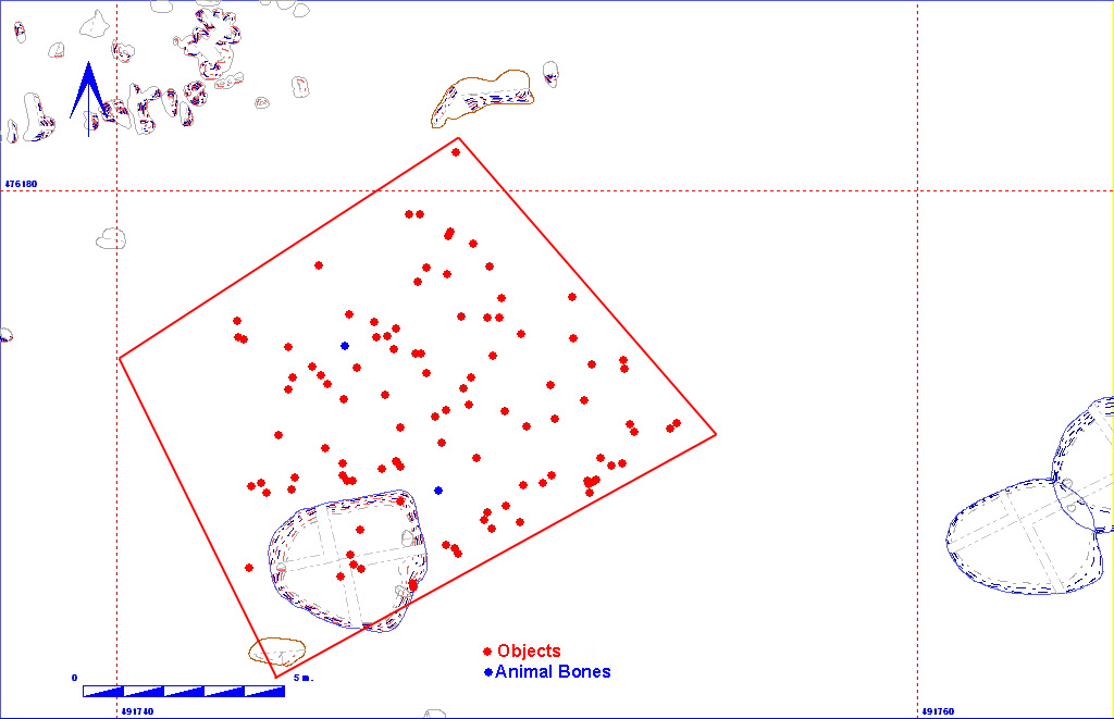
| Material Culture | Number of Objects | 103 | Number of Animal Bones | 2 | |||
| Environmental | |||||||
| 002CB00001 | |||||||||||||||||||||
| 002CB00002 | 002CB00063 | 002CB00080 | 002CB01534 | ||||||||||||||||||
| 002CB00012 | 002CB00021 | 002CB00024 | 002CB00037 | 002CB00039 | 002CB00040 | 002CB00038 | |||||||||||||||
| 002CB00250 | |||||||||||||||||||||
| 002CB01275 | 002CB00890 | 002CB02347 | 002CB00462 | ||||||||||||||||||
| 002CB00513 |
The matrix diagram above shows all of the spits in Area 2CB indicating their relationship to each other. Click on the spit number which you wish to see in more detail. The bold, flashing (Netscape browser only) context indicates the current catalogue entry.
| KEY_ID | TYPE | SHAPE | L | B | D | PROFILE | NOTES |
| 002CB00514 | SPIT | GRID DEFINED |
1000
|
820
|
1
|
FLAT | DESCRIBED AS A PEBBLY BURIED SOIL. IS ACTUALLY A PRE ANGLIAN PLOUGH SOIL. BOUNDED ON N. BY GRAVEL. AND ON S. BY CHALK. |