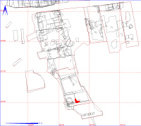
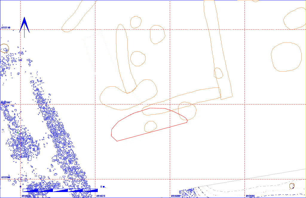
Shows location of layer 12AF126 in relation to the rest of Site 12


012AF00126    Layer


Layer Details
Length 204 Width 108 Depth 0
Area  2.2 sq. m Volume
Material Culture Number of Objects 0 Number of Animal Bones 0

Stratigraphic Matrix Diagram

                                                                                       
      012AF00001        012AF00109    012AF00110       012AF00108                     012AF00105   012AF00106   012AF00107   012AF00100   012AF00101   012AF00102    012AF00122    012AF00119    012AF00111   012AF00112   012AF00123
                                                                                       
  012AF00002   012AF00035   012AF00048               012AF00131    012AF00147   012AF00149   012AF00150   012AF00152           012AF00137               012AF00156    012AF00120             
                   012AF00124                                                                     
                          012AF00136   012AF00148       012AF00151               012AF00138                    012AF00121             
                  012AF00125                                                                    
                              012AF00157                                                        
                  012AF00126                                                                    

The matrix diagram above shows an extract of the spits from Area 12AF indicating their relationships to each other. Click on the spit number which you wish to see in more detail. The bold, flashing (Netscape browser only) context indicates the current catalogue entry.

Discussion

This was a much stonier deposit (Munsell colour 10YR 4/3), than layer 012AF00125 above. This area was excavated in order to ascertain whether the almost square geophysical anomaly (in dark orange on the plot above) related to a structure of some type. This was not proven, as work in this area had to stop in order to complete the excavation of the main Anglian settlement component to the north. The deposit remained unexcavated, and is now sealed by approximately 1.2 metres of soil.

Context Details

KEY_ID TYPE SHAPE L B D PROFILE NOTES
012AF00126 LAYER UNCLEAR
204
108
0
UNCLEAR STONIER LAYER UNDER 125. MAY HAVE SOME RELATIONSHIP WITH POSSIBLE WALL DEBRIS 127. UNEXCAVATED AS OF 30/8/95