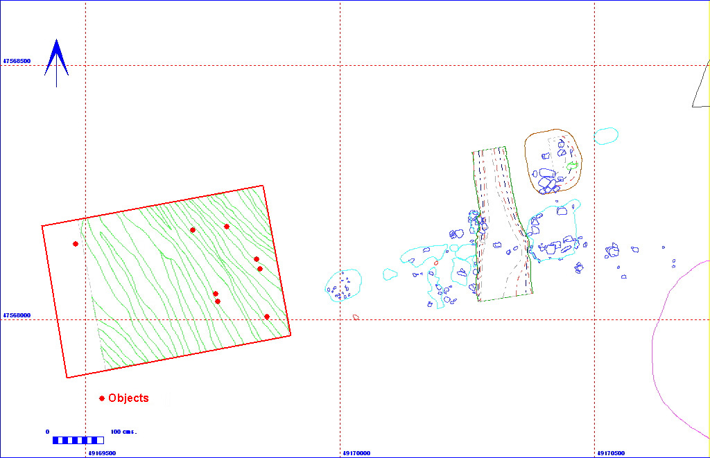
012AG00021 Spit

| Spit Details |
| Length |
500 |
Width |
300 |
Depth |
50 |
| Area |
15 sq. m |
Volume |
|
| Material Culture |
Number of Objects |
8 |
Number of Animal Bones |
0 |
Stratigraphic Matrix Diagram
The matrix diagram above shows an extract of the spits from Area 12AG
indicating their relationships to each other. Click on the spit number
which you wish to see in more detail. The bold, flashing (Netscape browser
only) context indicates the current catalogue entry.
Discussion
This was the first of three spits (with 012AG00023
and 012AG00024) in what became a box
section down through the deposits in central part of the trench. It was
removed in order to ascertain the depth of the deposits, but after 50cm
had been taken down, it was decided that further spits would be required.
The material removed was a sandy clay loam (Munsell colour 10YR 4/2), containing
15% angular chalk inclusions (<5cm in diameter). It roughly equates
with layer 012AG00028, although part of layer 012AG00027
was also removed by the first 20cm of this spit.
012AG00021
Object Totals by Period and Material
Context Details
| KEY_ID |
TYPE |
SHAPE |
L |
B |
D |
PROFILE |
NOTES |
| 012AG00021 |
SPIT |
RECTANGULAR |
500
|
300
|
50
|
FLAT |
SPIT TAKEN INTO FILLS OF 34=28(TOP FILL)
29(BOTTOM FILL) |
| KEY_ID |
TYPE |
SHAPE |
L |
B |
D |
PROFILE |
NOTES |
| 012AG00028 |
BURIED SOIL |
OVERALL |
900
|
300
|
50
|
UNDULATING |
STABILIZATION LAYER COLLUVIAL DEPOSIT FILLING
HOLLOW AND SEALING DEMOLITION DEPOSITS INCLUSIONS OF CHALK ANGULAR 15%<10CM
SLUMPS FROM WEST |
Objects


