011CD05435 Buried Soil (Unexcavated)
| Layer Details |
| Length |
474 |
Width |
453 |
Depth |
0 |
| Area |
21.47 sq. m |
Volume |
|
| Material Culture |
Number of Objects |
0 |
Number of Animal Bones |
1 |
| Environmental |
|
|
|
Stratigraphic Matrix Diagram
The matrix diagram above shows all of the spits and layers in Area 2CB
indicating their relationship to each other. Click on the spit number which
you wish to see in more detail. The bold, flashing (Netscape browser only)
context indicates the current catalogue entry.
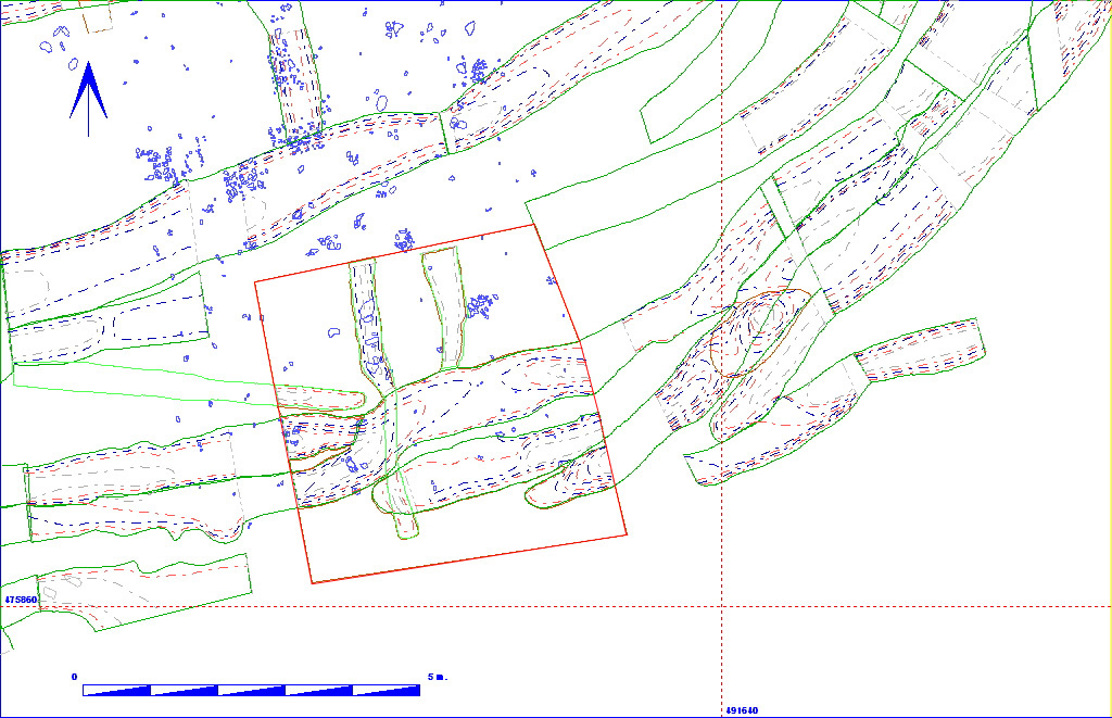
Discussion
This was an area of buried soil, which became visible in this area by the
removal of a number of spits. It was a dark sandy silty loam (Munsell colour
7.5YR 3/2), with around 5% chalk inclusions. This buried soil was also
visible in other places in area 11CD, where features were cut down to it,
although this was the area where it was most easily seen. The deposit was
sealed by spit 011CD05443, and was
cut by east-west aligned enclosure ditches 011CD07107,
011CD07108 and 011CD7110,
as well as north-south aligned slots 011CD05469
and 011CD05485. It remained unexcavated,
thus the only find was a cattle skull fragment which lay on the surface
of the deposit.
Context Details
| KEY_ID |
TYPE |
SHAPE |
L |
B |
D |
PROFILE |
NOTES |
| 011CD05435 |
BURIED SOIL |
UNCLEAR |
474 |
453 |
0 |
FLAT |
DARK BURIED SOIL LAYER NOT EXCAVATED THUS
NO MEASUREMENTS. THE BURIED SOIL APPEARED AT VARIOUS PARTS OF THE SITE
AND IN ALL CASES WAS AN EARLY EVENT.. |
Animal Bones
| KEY_ID |
SPECIES |
ELEMENT |
QUANT |
CHEW |
BURN |
BUTCH |
FBRK |
| 011CD05435 |
Cattle |
Skull fr |
1 |
0 |
0 |
0 |
1 |