
|
|
| Layer Details | |||||||
| Length | 550 | Width | 250 | Depth | 10 | ||
| Area | 13.75 sq. m | Volume | |||||
| Material Culture | Number of Objects | 0 | Number of Animal Bones | 0 | |||
| 011AD00001 | |||||||||
| 011AD00002 | |||||||||
| 011CD08029 | |||||||||
| 011AD00007 | 011AD00004 | ||||||||
| 011AD00015 | 011AD00009 | ||||||||
| 011AD00008 | 011AD00067 | 011AD00010 | |||||||
| 011AD00076 | 011AD00014 | ||||||||
| 011AD00081 | |||||||||
| 011AD00082 | 011AD00019 | 011AD00016 | |||||||
| 011AD00083 |
The matrix diagram above shows an extract of the spits and layers from Area 11AD indicating their relationships to each other. Click on the spit number which you wish to see in more detail. The bold, flashing (Netscape browser only) context indicates the current catalogue entry. You may need to pan around (using the slider at the bottom of the screen) to see all the entries. The numbers enclosed in grey include all of the spits from the waterlogged area around the spring, although they are dealt with as individual entries. If you wish to see the full spit matrix for areas 11AD (1990), 11BD (1991) and 11CD (1992), then click here.
| KEY_ID | TYPE | SHAPE | L | B | D | PROFILE | NOTES |
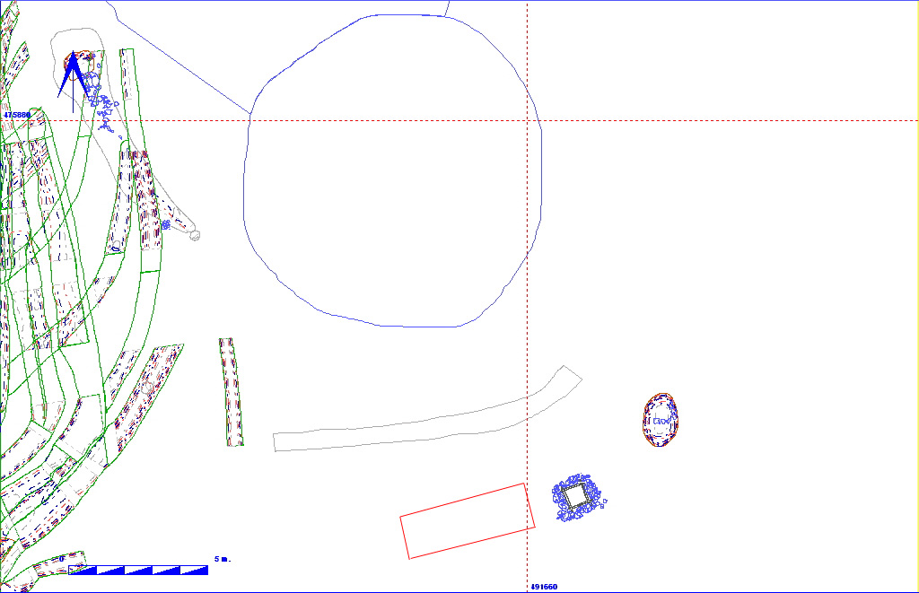
| 011AD00013 | LAYER | No entry |
550
|
250
|
10
|
FLAT | CHALK SURFACE OR LAYER EXTENDING FROM S BAULK. UNDER BLUE CLAY LAYER 14. NO DIMENSIONS OR FINDS RECORDED IN CONTEXT BOOK. |