 |

| Spit Details | |||||||
| Length | 407 | Width | 345 | Depth | 3 | ||
| Area | 12.65 sq. m | Volume | |||||
| Material Culture | Number of Objects | 2 | Number of Animal Bones | 0 | |||
| Environmental | |||||||

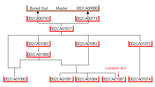
The matrix diagram above shows an extract of the spits from this part of Area 2CA indicating their relationship to each other. Click on the spit number which you wish to see in more detail.
| KEY_ID | TYPE | SHAPE | L | B | D | PROFILE | NOTES |
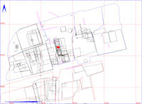
| 002CA01087 | SPIT | SUB-RECTANGULAR | 407 | 345 | 3 | FLAT | SPIT BETWEEN E. & W. GULLIES OF COMPLEX IN CENTRAL PART OF COMPLEX. SEE 1079 FOR LOCATION SKETCH. |
| KEY_ID | OB | PERIOD | MATERIAL | TYPE | SUB_TYPE | CLASS | No |
| 002CA01087 | AB | CHARCOAL | CHARCOAL SAMPLE |
1
|
|||
| 002CA01087 | AA | STONE | STONE |
1
|